
Predict loss exposure, efficiently stage adjusters, and accelerate claims adjustment with Floodbase’s near real-time flood impact data.


.png)

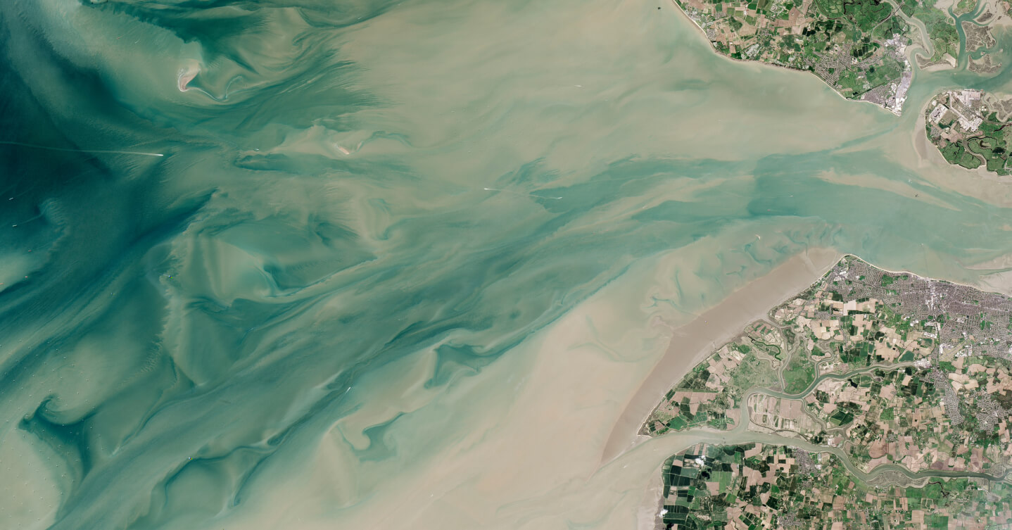
Consistent and scalable flood data designed to take action

All the features you need to power superior flood coverage and outcomes
Receive end-to-end technical support, including location scoping, index design, threshold setting, policy structuring, and continuous monitoring with automatic triggering notifications after policy binding.
High-frequency temporal observation that doesn’t depend on tasked satellites or vulnerable gauges means no gaps in flood data, regardless of local conditions. Understand flood events as they unfold and rest easy knowing policy pricing and payout triggers are reliable.
Active policies are continuously monitored and carriers are automatically notified of trigger events as soon as thresholds are crossed, enabling swift, automated claims payments.
Consistent data from satellites, IoT and stream gauges, meteorological information, and more combine to create a resilient, near real-time flood analysis datastream.
Decades of global flood data with historical context produces consistent and accurate statistical analyses based on observed fact, rather than simulations.
Machine learning algorithms process historical and near real-time data to produce highly precise statistical flooding estimates, constant monitoring, and accurate triggering
Provide risk transfer for a wide range of historically uninsurable location types and sizes. Because Floodbase’s data doesn’t depend on local flood models, coverage is available worldwide.
Seamlessly plug Floodbase data into your existing functions and models and use API calls to quickly access information about specific policies/properties

